Geographical Atlas
Advertisement
DIGITAL COLOUR ATLAS v.3.0
The DIGITAL COLOUR ATLAS is a complete package for your work with colour. You can compare colours and colour systems, calculate harmonies, match colours. There were measured 200,000 colour samples for this software.
Advertisement
3D World Atlas v.1.0
This 3D World Atlas software allows you to explore the world from your own home. The grapichs are in 3D, which make it more interesting. It has truly incredible graphics. You will enjoy to look around it with your children.
Terran Atlas v.2.0
Terran Atlas screen shotThe Terran Atlas database now has over 13 million records of city, latitude and longitude information for 250 countries, making it the largest database in the field.
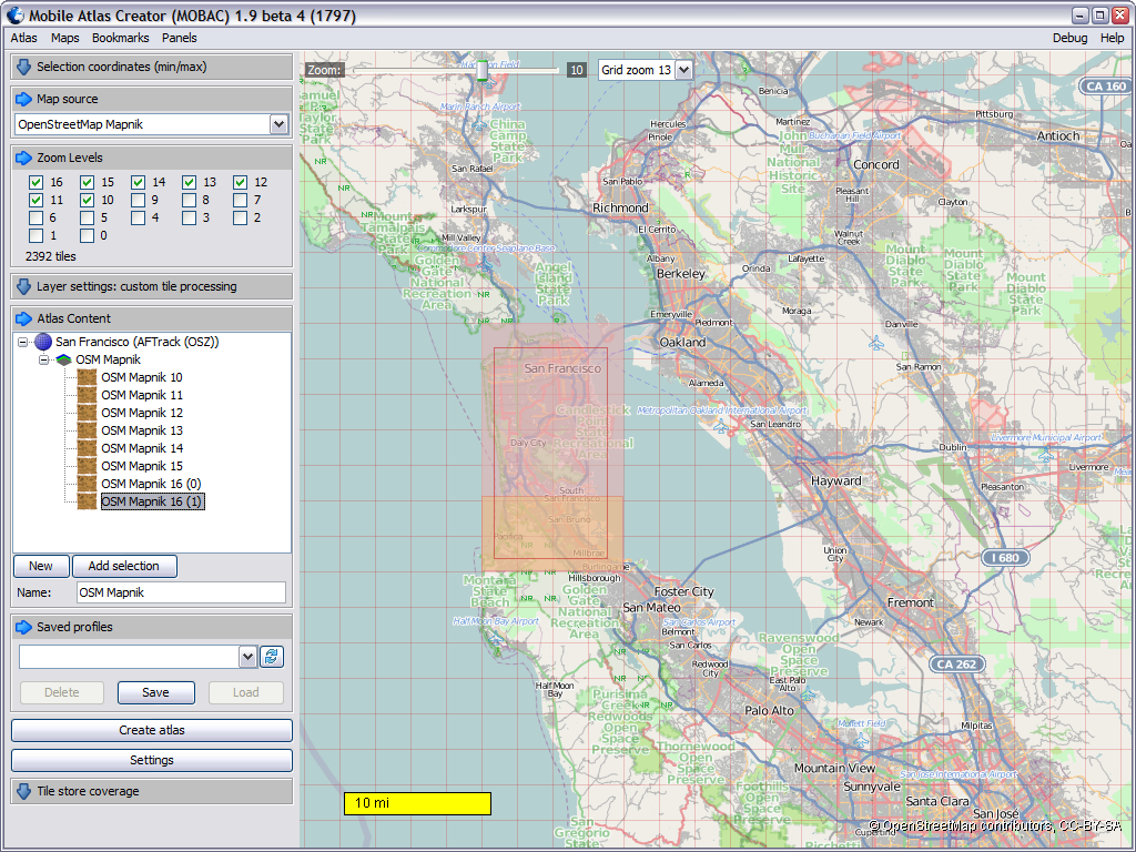
Mobile Atlas Creator v.1.9.11
Mobile Atlas Creator (formerly known as TrekBuddy Atlas Creator) is an open source (GPL) program which creates offline atlases for GPS handhelds and cell phone applications like TrekBuddy, AndNav and other Android and WindowsCE based applications.

Mobile Atlas Creator for Mac OS X v.1.9.11
Mobile Atlas Creator (formerly known as TrekBuddy Atlas Creator) is an open source (GPL) program which creates offline atlases for GPS handhelds and cell phone applications like TrekBuddy, AndNav and other Android and WindowsCE based applications.
3D Weather and Globe Atlas v.2.0.4
3D Weather and Globe Atlas allows you to view weather patterns all over the world, with real-time cloud cover and a 7-day forecast.
Atlas Subtitler v.1.1.0.0
Atlas Subtitler makes it very easy to download subtitles in any language for a whole series of videos. It supports Drag&Drop and can even shift subtitles in a part of the film. It can also adjust to unequal speeds.
ATLAS.ti v.6 2
ATLAS.ti is a powerful workbench for the qualitative analysis of large bodies of textual, graphical, audio and video data. Sophisticated tools help you to arrange, reassemble, and manage your material in creative, yet systematic ways. ATLAS.
Geographical Simulation and v.1 2
A Geographical Simulation and Optimization System (GeoSOS) is a computer-based system capable of simulating, predicting, optimizing, and displaying geographical patterns and processes. GeoSOS has been developed by Prof.
Atlas java Utiities v.1 3
Java package that provides foundation for atlas web apps. Classes provide the following functionality: Display and process HTML forms to view and edit objects. Display and process HTML forms to search and list objects. Manage request context.

Photo Atlas v.1.2.0.0
Select photos from phone storage or from a skydrive account and position them on the Photo Atlas. You can update photo properties, including name, date, location and rating. Photo Atlas will also show the photos in a timeline or calendar